Steve's Cottonwood Canyons
Weather DashboardTM
Updated April 4 @ 1:50 am
Summary
Cottonwood Canyons
April 4 @ 1:50 am
Learn how you can have Alexa read this report to you.
Current Conditions
At 1:00 am, the temperature near the top of Brighton's Crest chairlift was 14 degrees. Winds on Cardiff Peak are averaging 5 mph out of the north with gusts to 8. In the last 48 hours, the snow depth near the top of Brighton's Crest chairlift has increased 9 inches. In the last week, the depth has increased 15 inches.
Forecast Conditions
The forecast says that yesterday at 5:00 pm until 5:00 am this morning, no new snow is expected. The nighttime low temperature will be 20 degrees. And today, from 5:00 pm to 5:00 am, no new snow is expected. The daytime high temperature will be 46 degrees.
Avalanche Forecast
The Utah Avalanche Center's avalanche forecast for the Salt Lake area on Friday, April 3, says, "Areas of CONSIDERABLE avalanche danger exist in steep wind drifted terrain. These soft slabs will be 1-2 feet+ thick and a couple hundred feet wide and most pronounced on slopes facing north to east to south. Flip a coin? - There's more than an even chance you'll trigger an avalanche big enough to bury you on some slopes today. Because of the thin snow conditions, traumatic injury will be more likely with any avalanche involvement."
News Alerts
Cottonwood Canyons
April 4 @ 1:50 am
No road alerts or backcountry closures were detected.
12/24-Hour Forecast
Cottonwood Canyons
April 3 @ 2:33 pm
| 5:00 pm - 5:00 am | 5:00 am - 5:00 pm |
| 100% chance of | 100% chance of |
Low hanging clouds in place will thin rapidly with loss of solar this evening allowing largely clear skies to set in for the remainder of the forecast period. Notable warming trend on tap for Saturday coupled with strong solar...
View the 12/24-hour, 48-hour, or 7-day forecasts.
7-Day Forecast
Cottonwood Canyons
April 3 @ 11:31 pm
Overnight: Mostly clear. Low around 17, with temperatures rising to around 19 overnight. North wind around 6 mph.
Saturday: Sunny, with a high near 36. Wind chill values as low as 10. West northwest wind 6 to 9 mph.
Saturday Night: Mostly clear. Low around 25, with temperatures rising to around 27 overnight. East wind 7 to 10 mph.
Sunday: Sunny, with a high near 43. South wind around 7 mph.
Sunday Night: Partly cloudy, with a low around 30. North northeast wind around 8 mph.
Monday: A slight chance of snow showers after noon. Mostly sunny, with a high near 47. Chance of precipitation is 20%.
Monday Night: Partly cloudy, with a low around 32.
Tuesday: A chance of snow showers. Partly sunny, with a high near 47.
Tuesday Night: Partly cloudy, with a low around 33.
Wednesday: A chance of snow showers. Partly sunny, with a high near 46.
Wednesday Night: A chance of snow showers. Mostly cloudy, with a low around 31. New snow accumulation of less than half an inch possible.
Thursday: Snow showers likely before noon, then snow showers likely and a slight chance of thunderstorms. Mostly cloudy, with a high near 38. New snow accumulation of around one inch possible.
Thursday Night: Snow showers likely. Mostly cloudy, with a low around 27. New snow accumulation of 1 to 2 inches possible.
Friday: Snow showers likely before noon, then snow showers and a slight chance of thunderstorms. Mostly cloudy, with a high near 37. New snow accumulation of 1 to 3 inches possible.
View the 12/24-hour, 48-hour, or 7-day forecasts.

Current Temperature
| Alta April 4 @ 1:00 am | Brighton's Crest April 4 @ 1:00 am |
48-Hour Snow Depth
| Alta's Collins April 4 @ 1:00 am | Brighton's Crest April 4 @ 1:00 am |
| Current depth: 94" | Current depth: 76" |
30-Day Snow Depth
| Alta's Collins April 4 @ 1:00 am | Brighton's Crest April 4 @ 1:00 am |
| Current depth: 94" | Current depth: 76" |

Avalanche Rescue
Training Resources

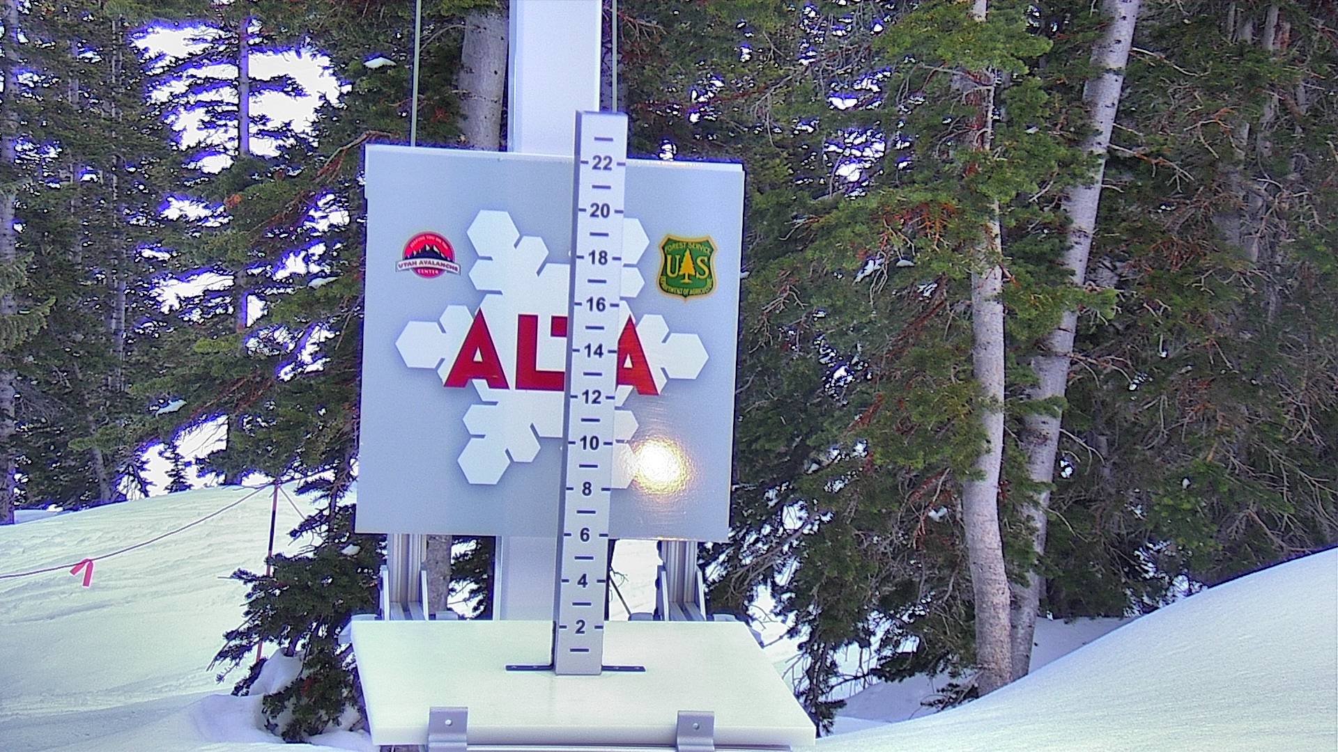
Cameras

Tap sides of this photo to change cameras.
Enlarge this photo.
Additional cameras:
Alta, Brighton, Snowbird, Solitude, and UDOT.

More Info
Do Something?
A gondola? Reduced bus service? Interconnect? Do you give a shit or are you just another a selfish consumer? Join the Alliance.
Avalanche Rescue
Be a good partner. Visit AvyRescue.com and watch the videos.
The Backcountry Guide
The Wasatch Backcountry Skiing Guide provides information on hundreds of backcountry ski locations.
Amazon Alexa
Learn how you can have Alexa, Amazon's talking assistant, read this report to you.
The Backcountry Map
The Wasatch Backcountry Skiing Map is available on your desktop, on your mobile device, and as waterproof and wall maps.
The Inclinometer
Check out Steve's Badass Avalanche Inclinometer.